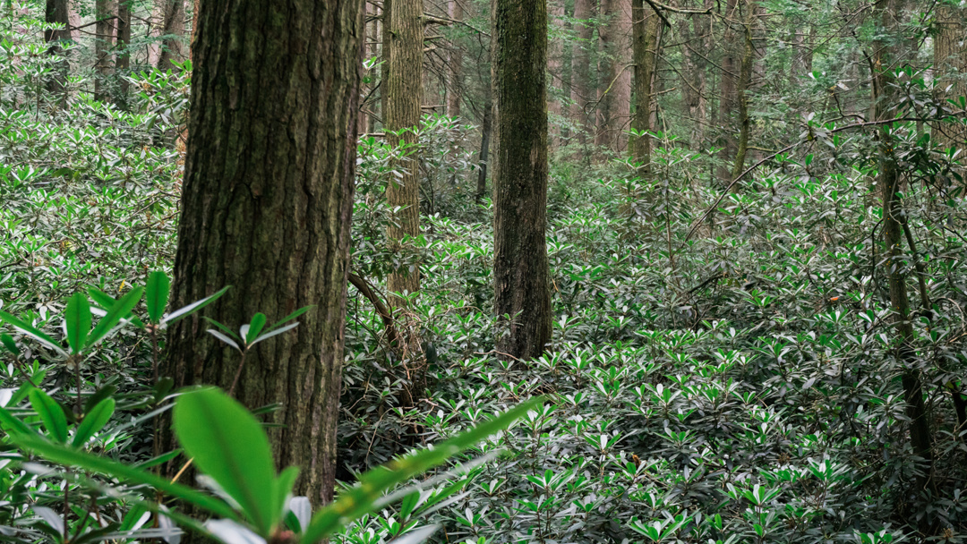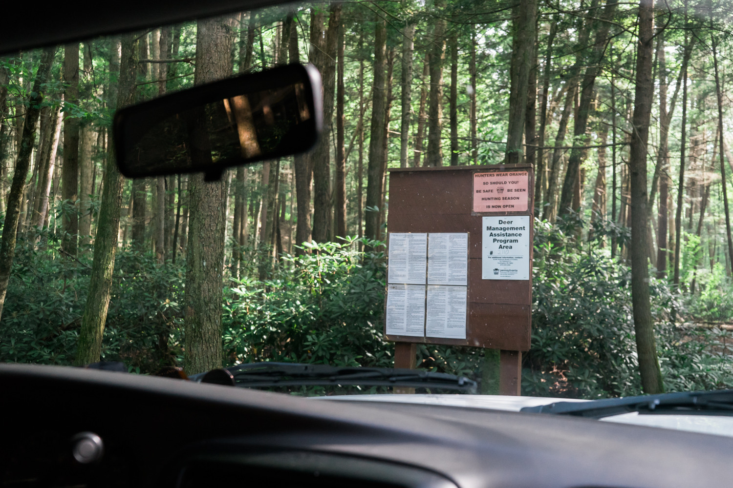
Star Date: August 13th, 2017. I once again find myself on RTE 322 heading north towards State Collegewith one of my brothers. This time I’m with mi hermano Erik, y we’re rolling to Penn-Roosevelt State Park, a small park located in the heart of Rothrock State Forest. Neither of us had ever been there, nor knew much about it, but we figured it would be a great place to start the day.
After an hour or so of travel on RTE 322, we made a left onto Crowfield Road, just north of the Laurel Creek Reservoir. To our surprise and delight, it was a nicely kept gravel forest road. No branches, downed trees, deep ruts or obstacles of any sort obfuscated the trip for us. The gravel road was smooth enough to do 30mph with no issues, although we chose to roll at a significantly lower clip. We had no need to drive faster because we were already there, the place where trees outnumber people. We stayed on Crowfield Road for about 6.5 miles and it led us directly to Penn-Roosevelt State Park. Aside from two dual-sport motorcyclists, we passed no cars while driving on Crowfield Road. Apparently, dual-sport motorcycling is a big thing in Rothrock State Forest. The forest’s official DCNR web pagethere has a map specific to dual-sport motorcycling.
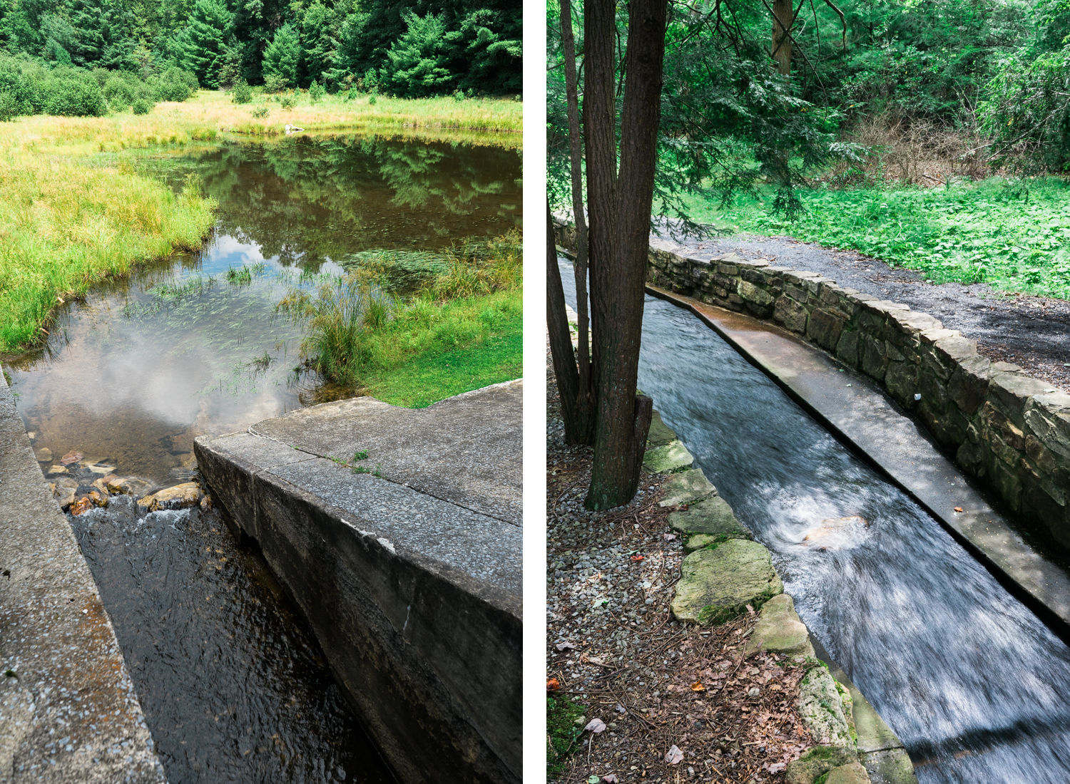
We pulled into a small parking lot on the west side of the “lake”, which resembled more of a wetland pond than a lake, but more on that later. Scattered beneath the lush green canopy of the resident trees were picnic tables and charcoal grills, plus a singular large stone fireplace that is probably 20 feet tall. There were two vault toilets, which means no running water, and there is no park office on site, all affairs are handled at the Greenwood Furnace State Park. We followed signs through the small grove of picnic tables and trees towards the lake and dam. As we rounded a corner in the path we could see the lake is a shadow of its former self, or so I would assume. It was tiny, really tiny. There were signs that indicated fishing was allowed, but I think most people could spit across it.
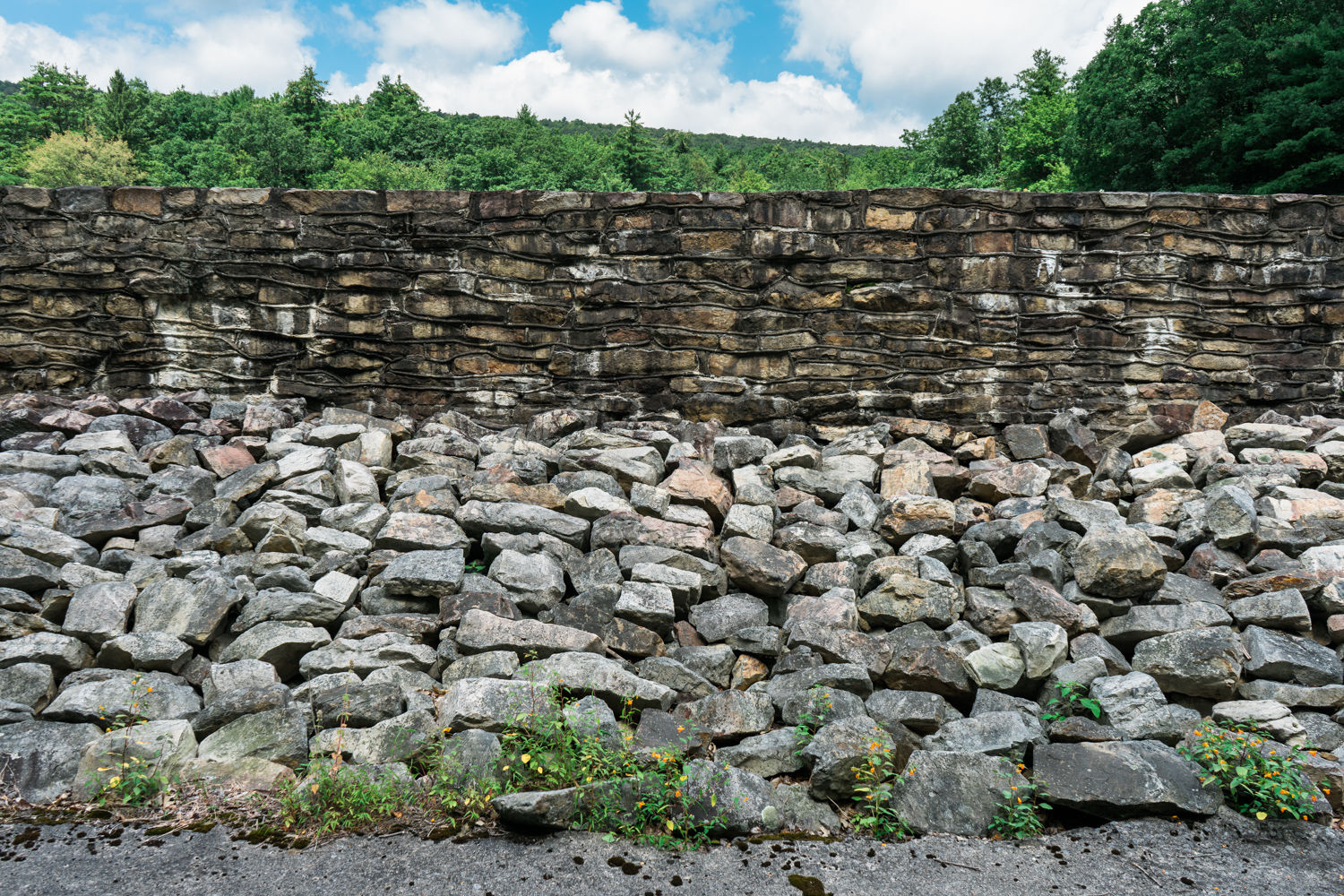
And the dam wasn’t looking much better. At this point in its lifetime, it looks less like a dam and more like a pile of rocks laying against an old stone masonry wall. Water flows through two cut-out channels that allow the dam to remain free from the weight of the water. We walked along the back side of the dam towards the campground and encountered some sort of small viper tucked amongst the rocks. Neither of us could ID the snake with 100% accuracy, a fact I chalk up to challenging lighting scenario and our desire to not disturb the snake, but Erik believed its markings to be that of a timber rattlesnake.
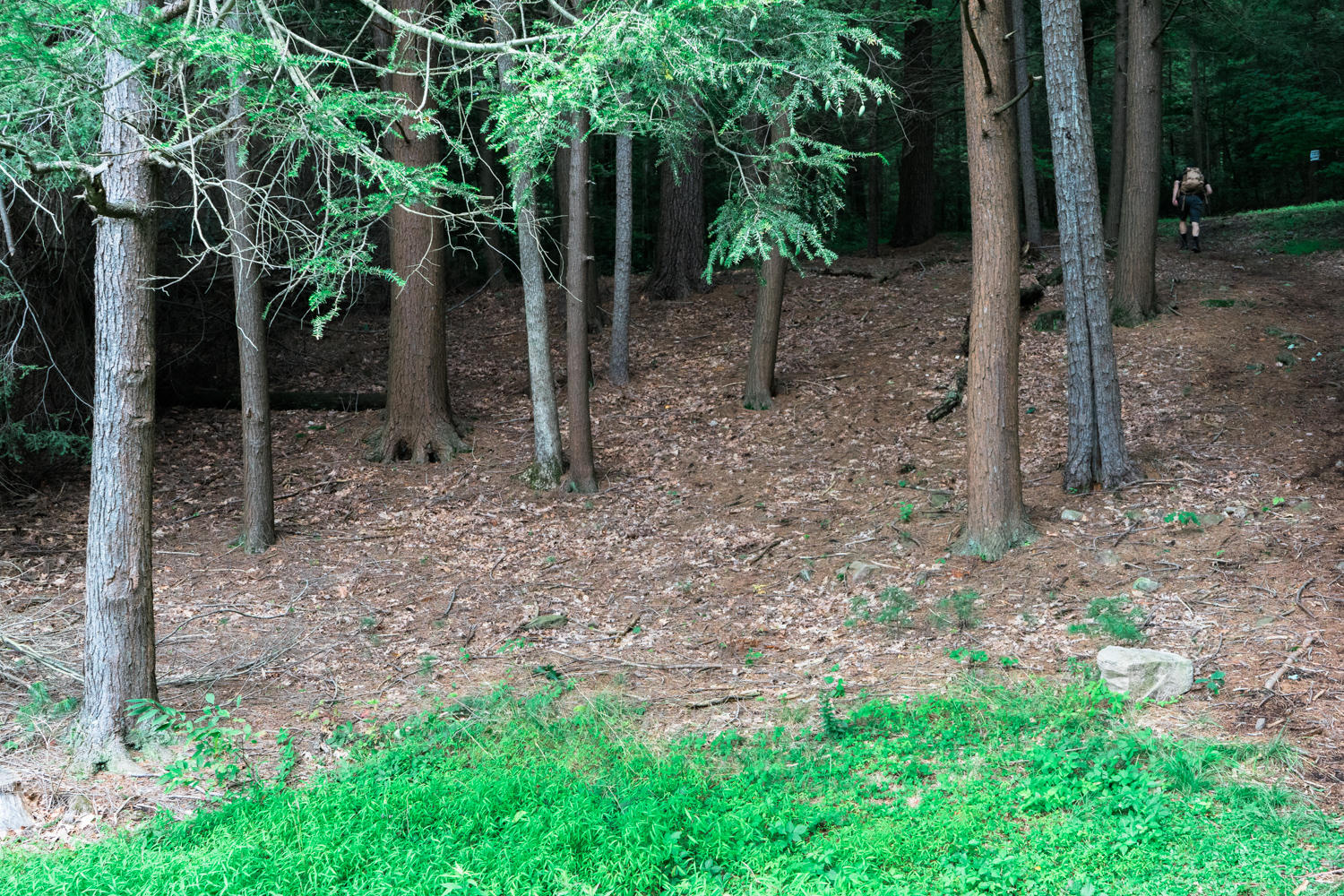
We walked up the small tree covered hill to an all but vacant campground. In fairness, it was the early afternoon on a Sunday and there is no RV camping permitted, but I would have expected to see more than 1 lone camper. I have a feeling the loss of the lake has had a detrimental effect on campground’s occupancy. The allure to camp next to a puddle just isn’t quite the same as camping next to a lake. In total there are 18 campsites with 6 walk-in sites. The walk-in sites are accessed via two main trails; one that leads to sites 4-9, which was being used by the aforementioned camper and one that leads to campsites 11 & 12, the one we chose to hike.

We walked on the trail for about 50 yards when we were met with a fork in the road, 11 to the right and 12 to the left, we went with 12. After another 20 yards or so the dense mountain laurel laden forest opened up to an incredible campsite. Ancient hemlocks towered overhead while giant rhododendrons created a secondary canopy for Standing Stone Creek to flow beneath. The creek is the quintessential Pennsylvania trout stream, clear, cold and shaded. About 100 feet away from campsite 11 stood number 12. Situated directly next to Standing Stone Creek, with ample space for tents or hammocks, and dramatically fewer snags number 12 is the better of the two sites.
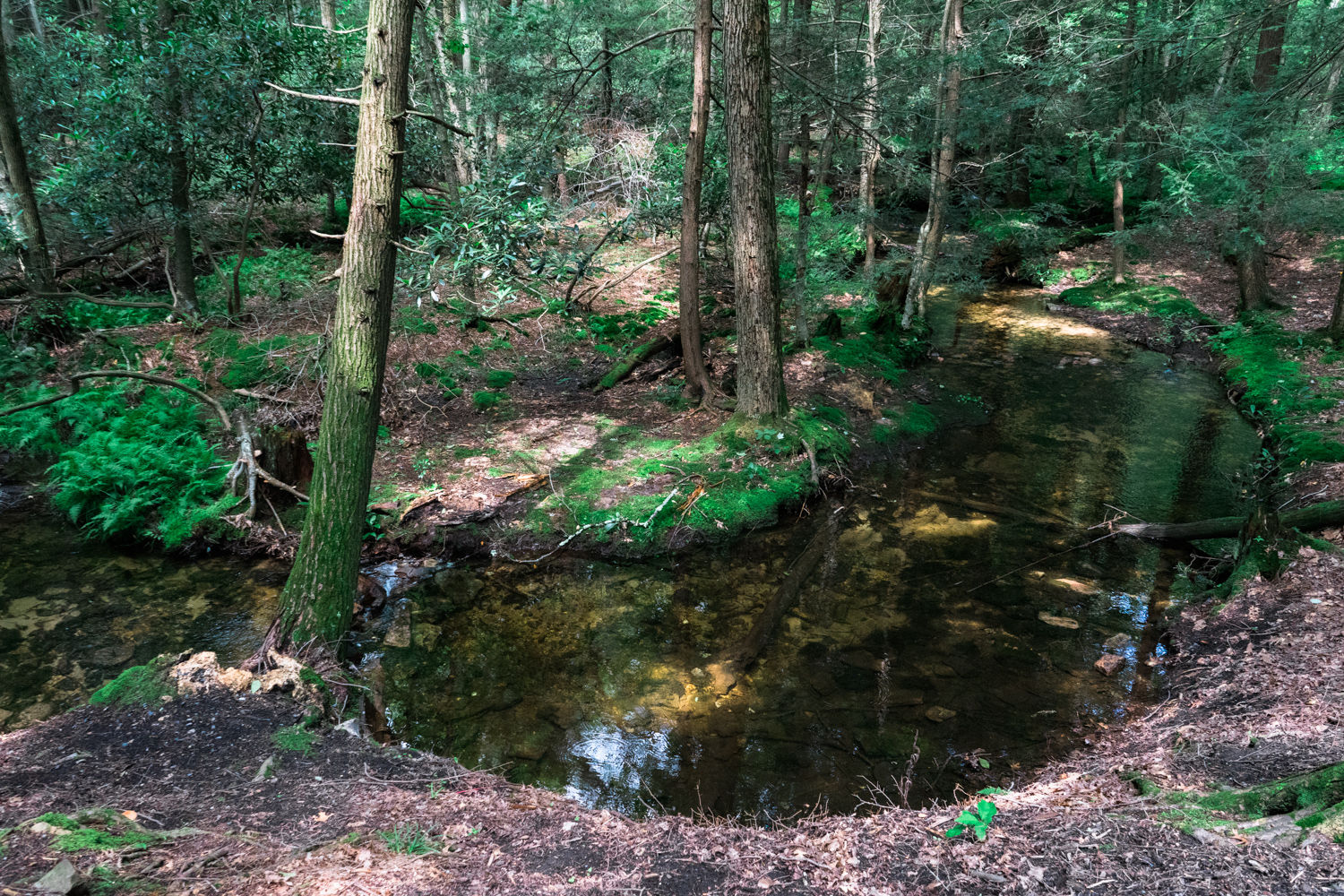
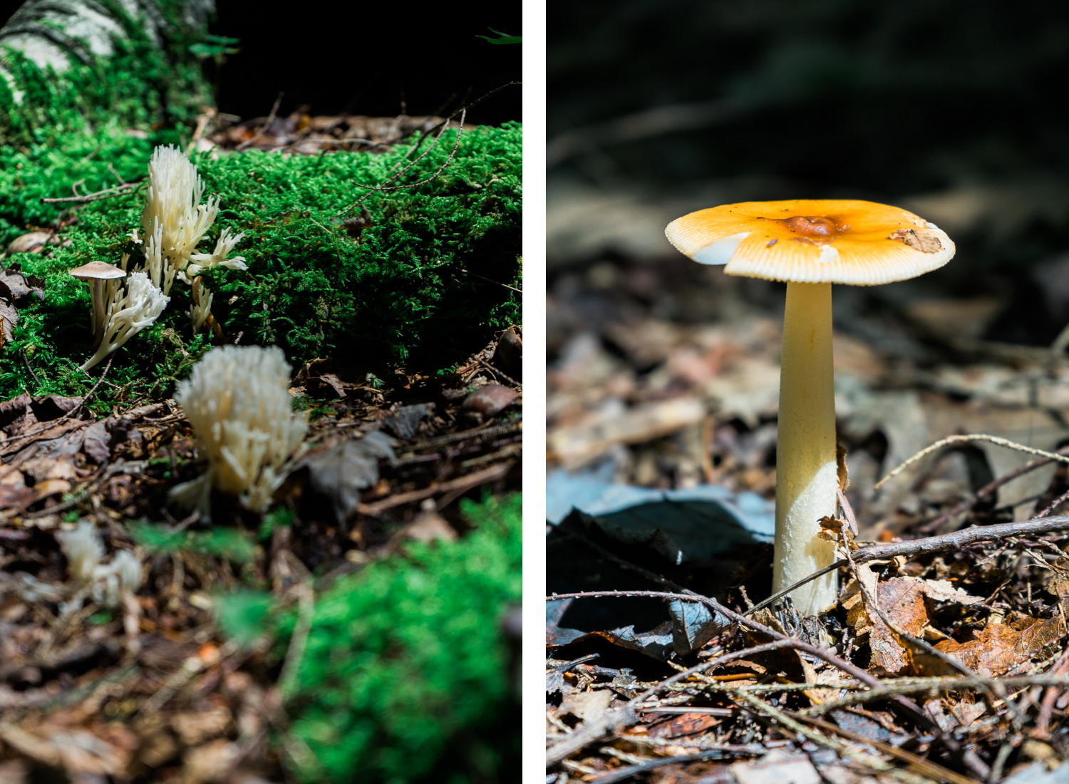
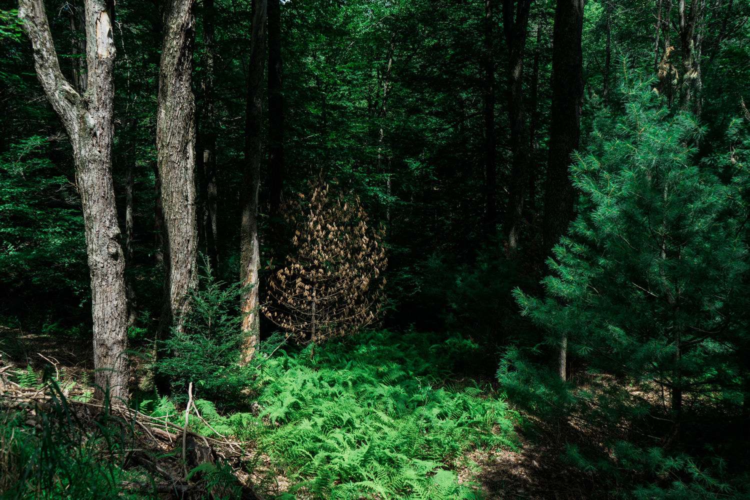
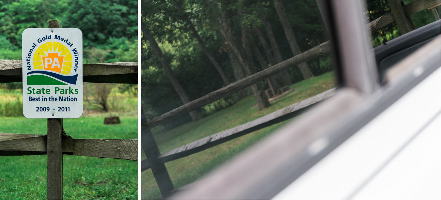
We headed back to the main campground loop and entered onto Penn-Roosevelt Park Road, which encircles the entire park. We followed it until it led us back to the truck. As we were deciding our next move, I noticed a sign hanging on the split rail fence that separates the parking lot and the picnic area. “National Gold Medal Winner – PA State Parks – 2009-2011”. I’m unsure if this park specifically won an award, or if the entire Pennsylvania State Park system won the award, I’m guessing the latter. Regardless it brings to attention something I tell everyone I talk to, Pennsylvania has some of the nicest state parks that I’ve had the pleasure of experiencing. And they’re all FREE to enter! No admission cost! FREE! Plus the facilities are always clean, even if they’re only primitive.
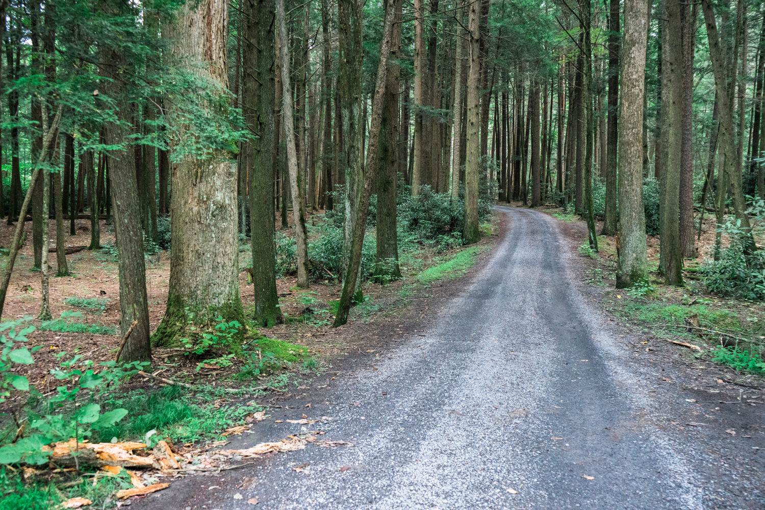
After looking at my offline maps, don’t expect cell service here, we realized we weren’t too far from Alan Seeger Natural Area, a place Erik & I have been wanting to explore for some time. We left the park heading south on Crowfield Road and followed it until we saw Stone Creek Road, on which we made a right. Some time and no turns later we arrived at Alan Seeger Natural Area.
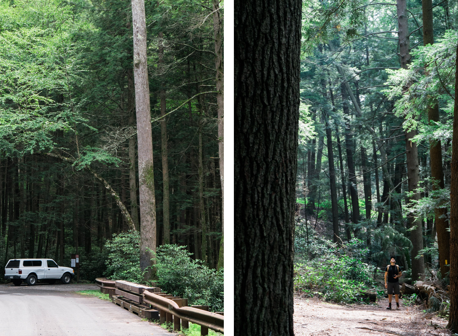
Named after the American poet who fought and died in World World I, the natural area, while not a state park, does have two pavilions and multiple grills perfect for picnicking. I can’t comment on the restroom facilities, as I was already stubbornly dehydrated by that point in the day. Not sure what my issue is with staying hydrated, maybe it’s being born smack dab in the middle of a cusp between a fire and an earth sign, or it’s maybe just some weird form of laziness. Who knows?! But back to the forest.
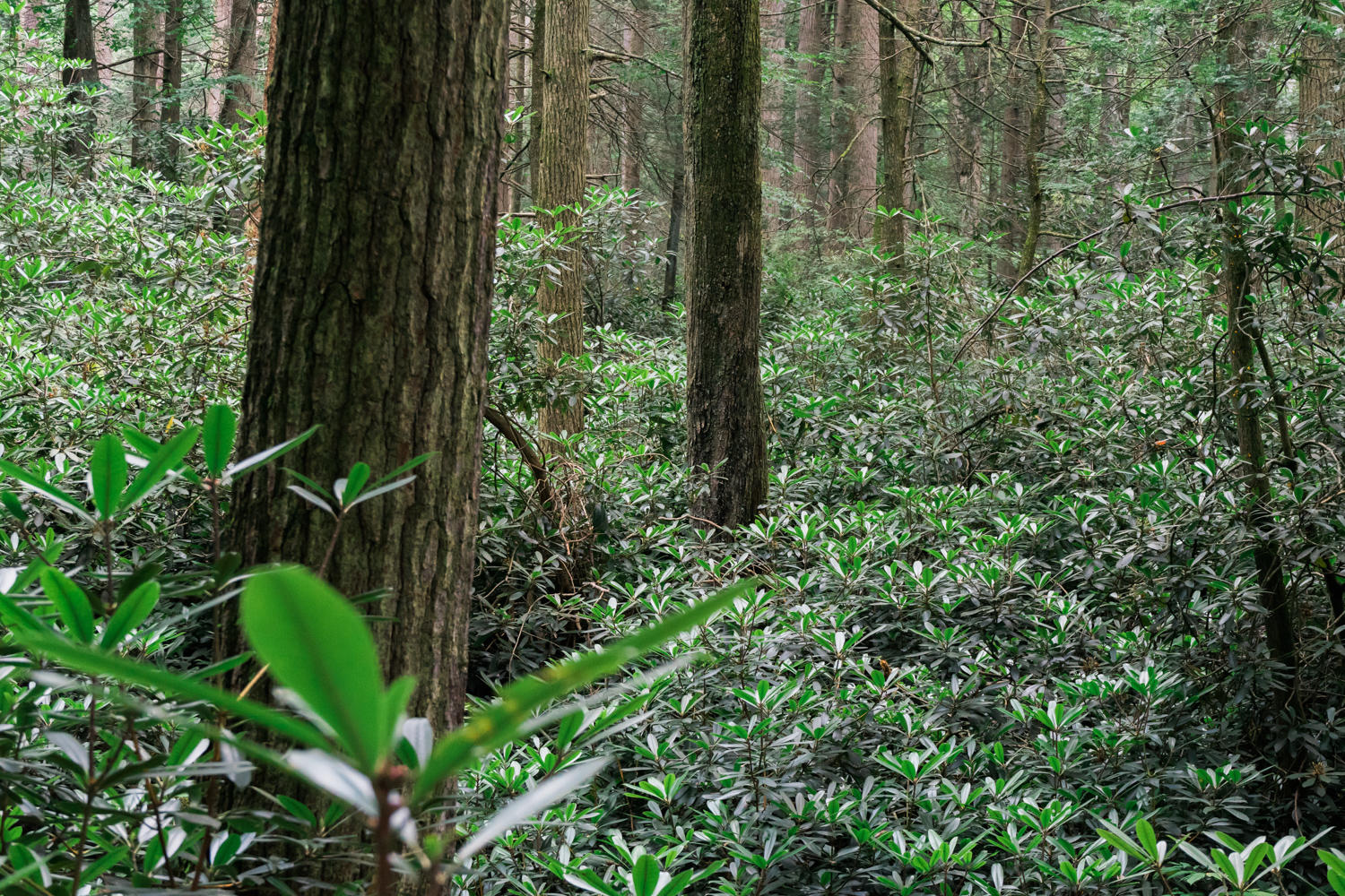

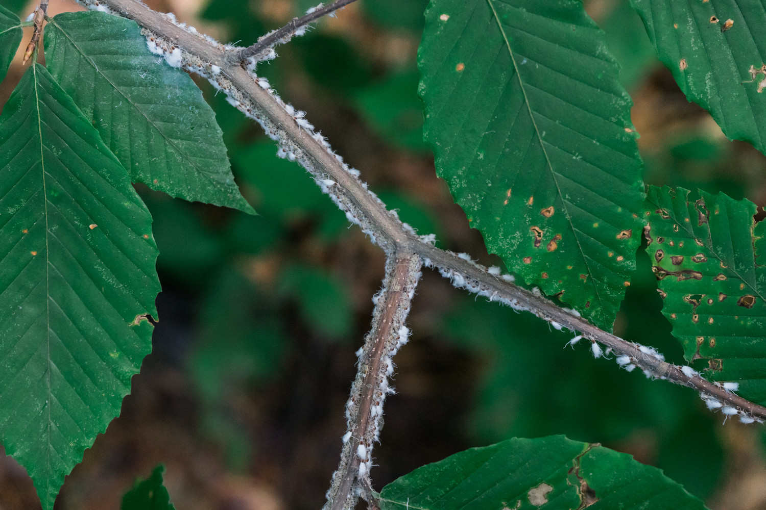
If you ask people who’ve been there what they remember about Alan Seeger Natural Area, it’s always the trees, the neck cramp inducing old growth hemlock and the two story tall jungle of rhododendron. The Standing Stone Trail circles the natural area and includes some interpretive signs scattered along the way. There are a few stream crossings and all are handled beautifully with sturdy wooden bridges. We also saw some Beech blight aphids. Referred to by some as the boogie-woogie aphid, because when threatened they raise their posterior and sway back and forth. While they look similar to the Hemlock woolly adelgid, the bugs responsible for the massive die-offs of hemlocks in Pennsylvania, the Beech blight aphid is relatively benign and usually does only minor damage to the trees they inhabit.
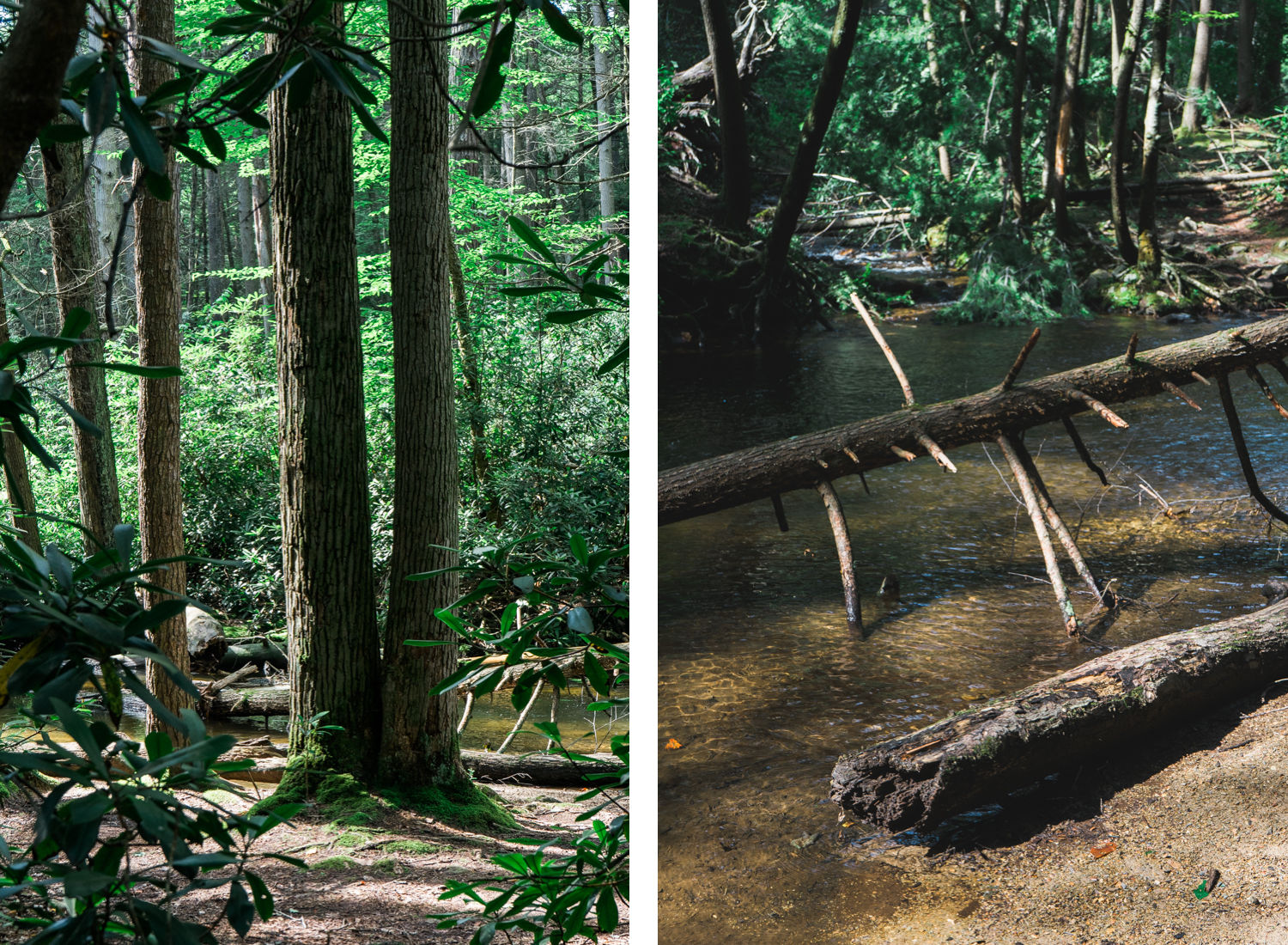
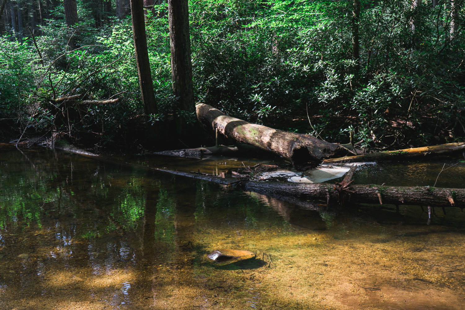
To cool off, we frolicked and splashed about in Standing Stone Creek. The water droplets moved in slow motion, dyed orange from the rays of the late afternoon sun. Psych. We didn’t really get that hot on the hike. It was a nice cool day below the canopy and the path was level the entire time. No exertion required. When we were finished hiking we just hopped in the rig and headed south on Seeger Road.
Not too long after we started driving I noticed a small wooden sign on our left with the words “scenic view” and “fire tower”. I alerted my brother, he stopped the truck and we backed down the road to a small cutout made for parking. The sign indicated it was only two-tenths of a mile to the scenic view and just under a mile to a fire tower, the Greenwood Tower. We talked it over and decided to head to the scenic view. We had already hiked a considerable amount that day and hiking one mile straight up the side of the mountain didn’t appeal to either of us.
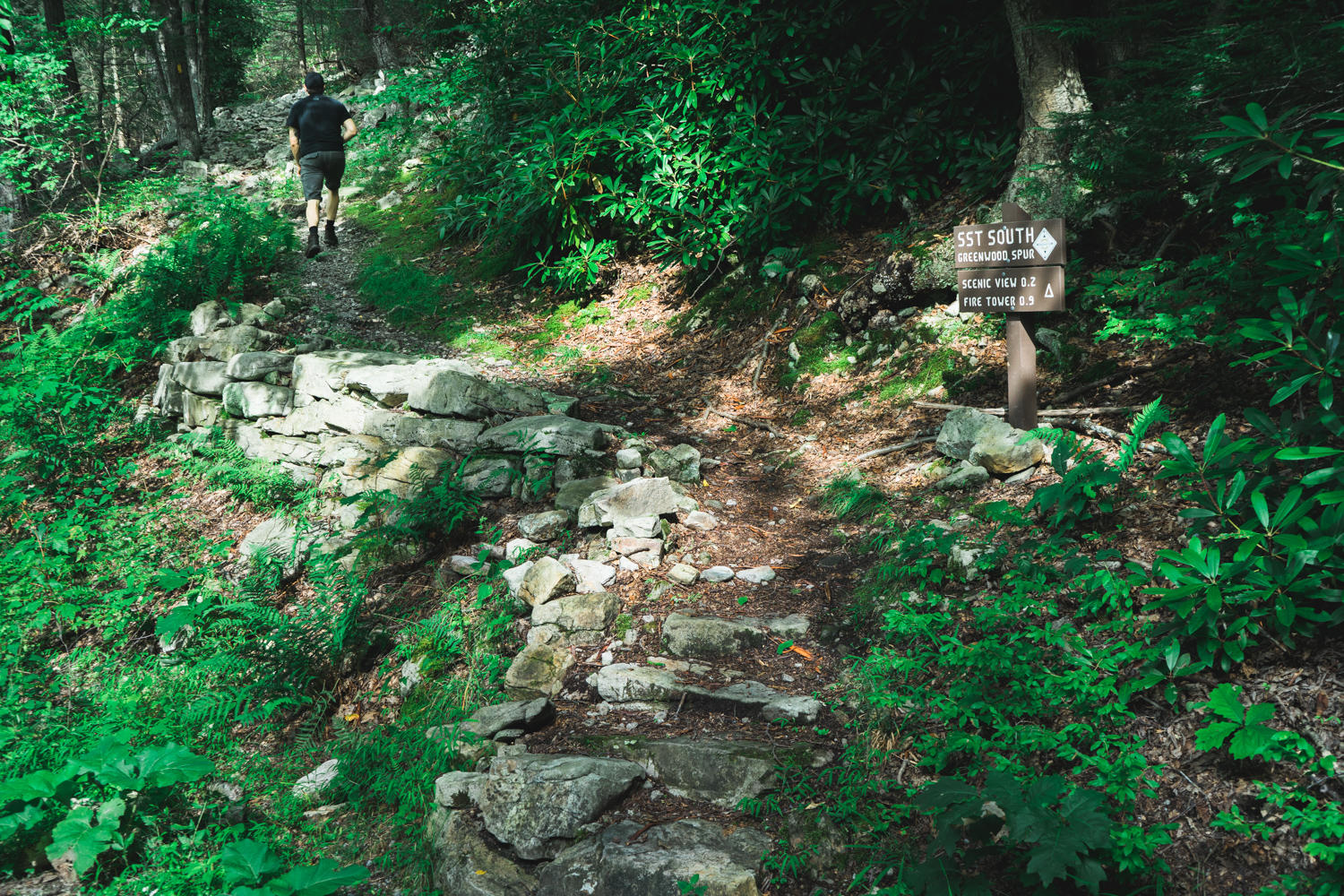
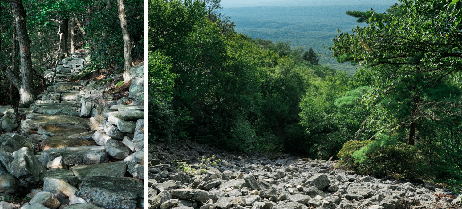
The trail started off as stone steps and was quite steep, steep enough for switchbacks, a trail feature not as common on the east coast. After a switchback or two, we arrived at a sign, “Scenic View – 300ft”. Sweet, we were almost there!
After what felt like a mile we noticed the mountain started to level out and we could see some sort of structure through the trees. Son of a bitch! It was the fire tower! It didn’t feel like a mile, it was a mile! Maybe the scenic view had become overgrown, but the signs all looked relatively new and the trail was well maintained. We hung out on top of the mountain, with no view, beneath the dilapidated fire tower. We chose not to scale it because we were tired from the day, or maybe that’s what we told ourselves because we’re just some wimpy old fuddy-duddies.
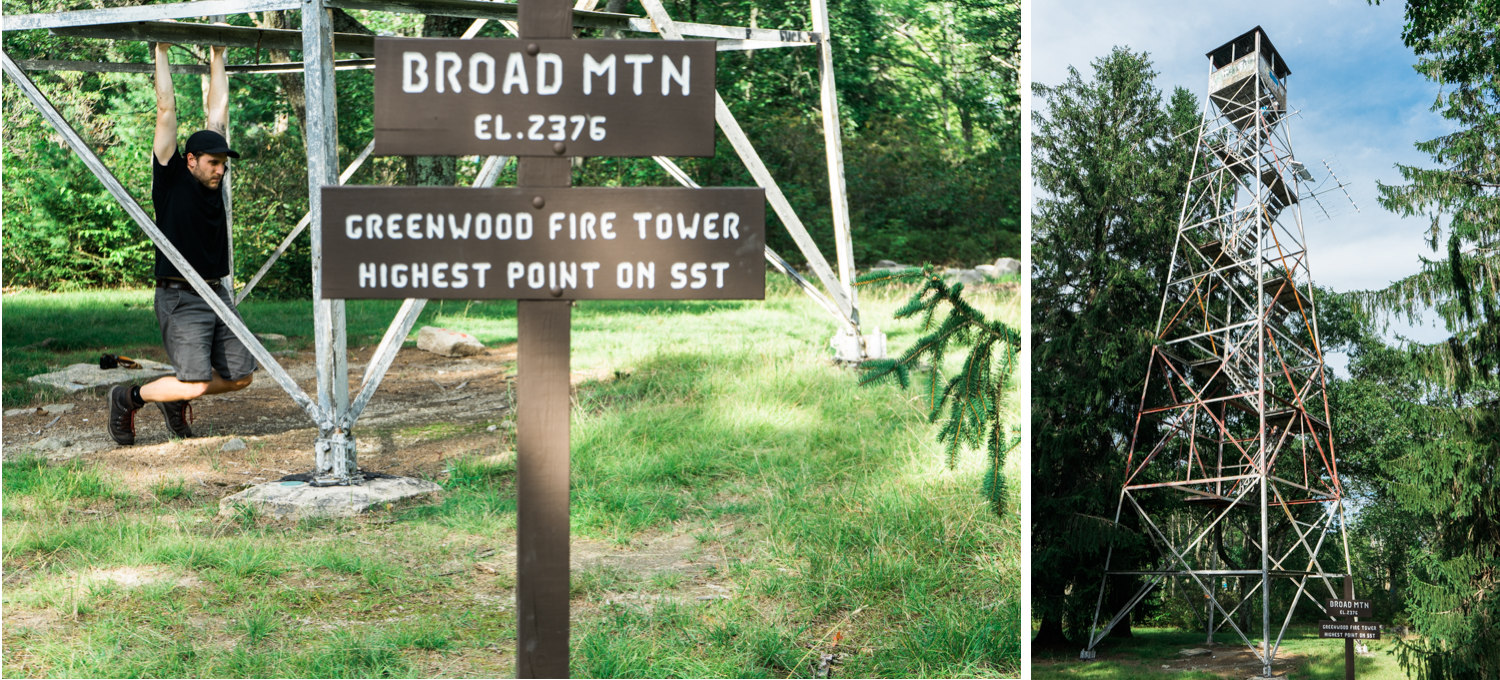
We chilled for a half an hour or so before we decided to head back down the mountain. The path was steep on the way up and felt even steeper on the way down. Three-quarters of the way down the mountain we encountered the sign we had passed on our ascent, “Scenic View – 300ft”. And that’s when I saw it, the path leading off just behind the sign that was marked with different color blazes than the path we were hiking. Whoops! Looks like on the way up Erik and I had misread the sign and didn’t even see the trail. We finally hiked the 300 feet to the scenic view and were met with a standard Pennsylvania vista, rolling green mountains as far as the eye could see. You know you live in a beautiful state when that becomes standard.
The sun was starting to hang low in the sky and we figured we ought to hightail it on back to the homestead. We took Seeger Road south to Rag Hollow Road, which took us out of the forest. At the intersection of RTE 305 and Rag Hollow Road sits the entrance to Greenwood Furnace State Park. Surprised we were so close to the park, we postponed heading home and made a detour through the park. From what we saw Greenwood Furnace has a great set of amenities, a beautiful lake, a nice campground with some killer walk-in sites and a historic blacksmith shop. GF will definitely be a park I return to.
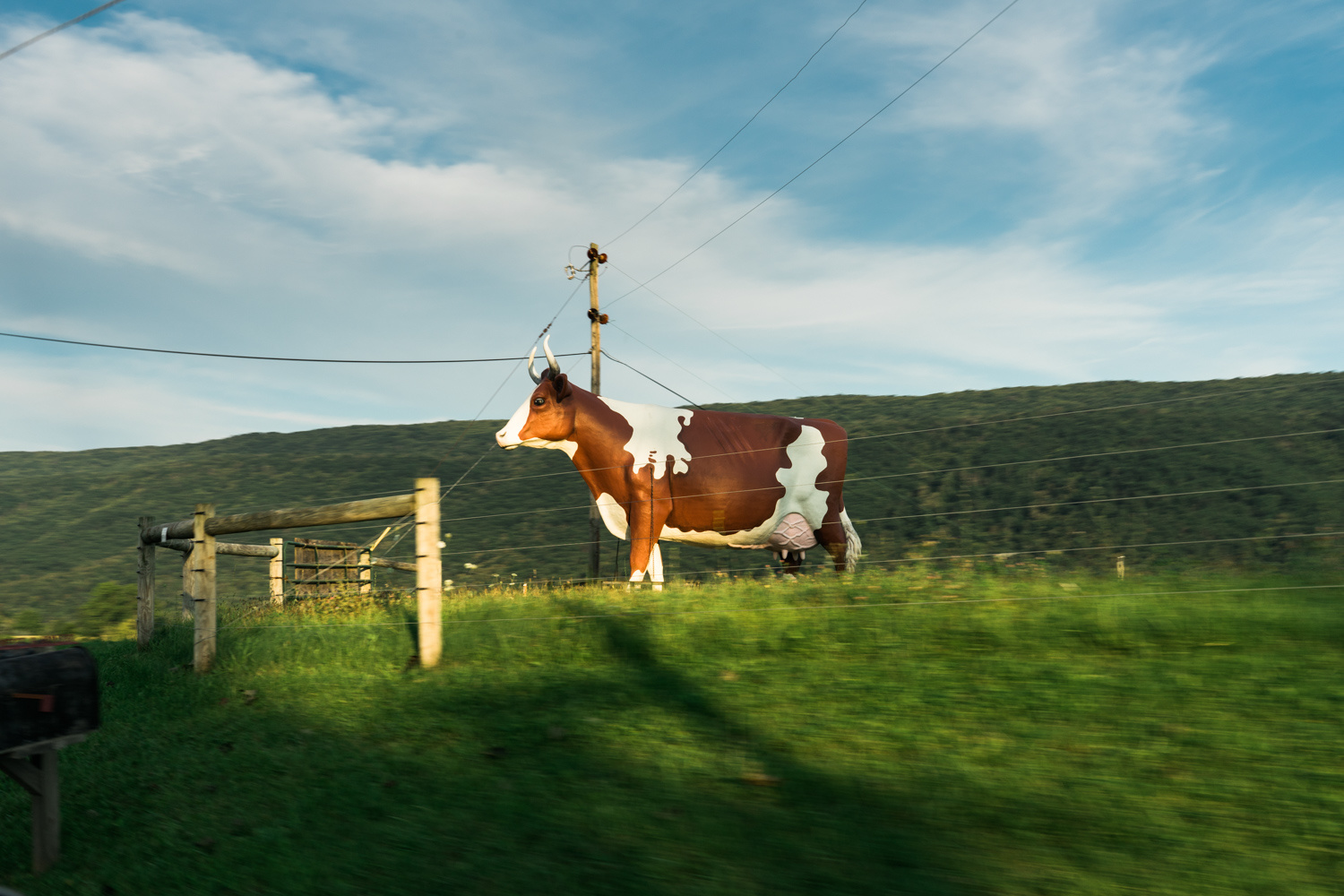
The ride home was just about perfect. The sun was all but set and cast its deep orange glow across the valley and her agricultural inhabitants. I’m not sure what was popping off that night, but the roads were filled with dozens upon dozens of yellow horse-drawn buggies driven by children! If I had to guess I’d say their ages ranged from pre-teen to young 20’s. But who knows, everyone looks young to me anymore. Even though I’ve lived in Pennsylvania almost my entire life, it’s still difficult for me to wrap my head around the fact that Amish culture can still exist today. It feels so remarkably archaic, a true relic of the past still living. Crazy. I have nothing but respect for them.

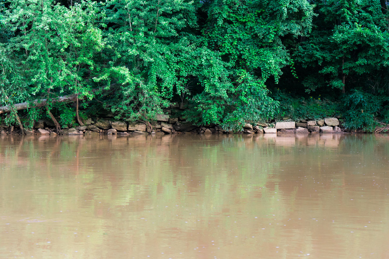
We entered onto RTE 322 just north of Reedsville after taking RTE 655 through the Kishacoquillas Valley. As we drove south, headed home to Harrisburg, we saw a sign along the highway that simply said “River Access”. No mention of gas, food or lodging, just river access. We exited the highway and pulled into an enormous parking lot. At one end sat a public boat ramp, and at the other a trailhead for an interpretive trail the leads along the river, which is the Juniata. We didn’t investigate the space too thoroughly as we were already deep into the blue hour. Add it to the list, a place to return.
– ‘Til the next one –
